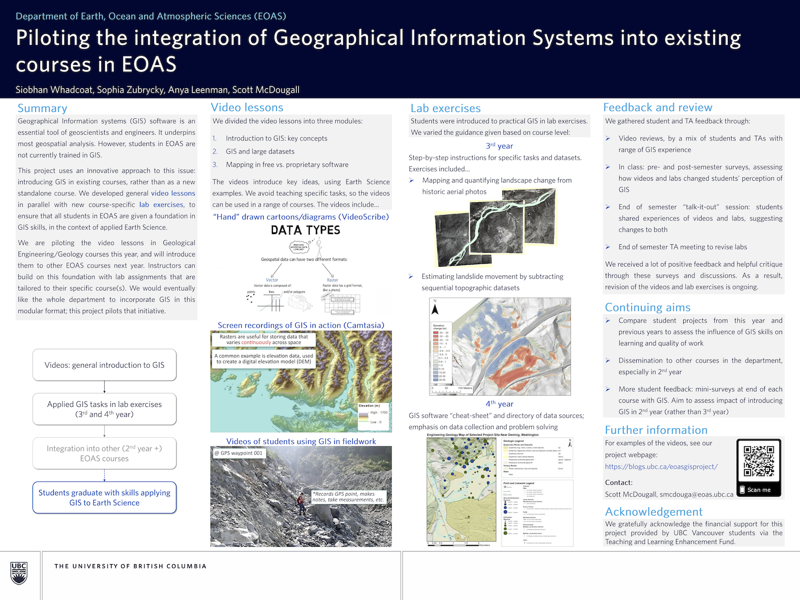
| Title | Piloting the integration of Geographical Information Systems into existing courses in EOAS |
|---|---|
| Faculty/College/Unit | Science |
| Status | Completed |
| Duration | 2 Year |
| Initiation | 04/01/2018 |
| Completion | 08/31/2020 |
| Project Summary | GIS software is an essential tool of geoscientists and engineers in academia, industry, and the public sector, underpinning most forms of 2D and 3D spatial analysis. However, students within EOAS at UBC are not currently provided with GIS skills. This project proposes an innovative approach to dealing with this issue by introducing GIS into existing courses rather than as a new standalone course. By developing introductory online lessons for GIS in parallel with new course-specific GIS-based lab exercises, this project will ensure that all students in EOAS are given a level foundation in GIS skills in the context of applied earth science. The online lessons will be piloted within a combined Geological Engineering/Geology course (EOSC-330) in year one, and introduced to other EOAS courses in year two. Instructors will be able to build on this foundation with applied lab assignments that incorporate GIS. EOAS would eventually like the whole department to incorporate GIS in this modular format and this project aims to pilot that initiative. |
| Funding Details | |
| Year 1: Project Year | Year 1 |
| Year 1: Funding Year | 2018/2019 |
| Year 1: Project Type | Small TLEF |
| Year 1: Principal Investigator | Siobhan Whadcoat |
| Year 1: Funded Amount | 44,338 |
| Year 1: Team Members | Siobhan Whadcoat, Postdoctoral Research Fellow, Earth, Ocean and Atmospheric Sciences (EOAS), Faculty of Science |
| Year 1: TLEF Showcase |  |
| Year 2: Project Year | Year 2 |
| Year 2: Funding Year | 2019/2020 |
| Year 2: Project Type | Small TLEF |
| Year 2: Principal Investigator | Scott McDougall |
| Year 2: Funded Amount | 5,079 |
| Year 2: Team Members | Scott McDougall, Assistant Professor, Earth, Ocean and Atmospheric Sciences (EOAS), Faculty of Science |